July 13th
Horse Creek Pass(189.1)-Twin Lakes Trailhead(195)
Mileage: 5.9mi
Today was our last day on the Sierra High Route, and it’s funny that it was all downhill. 3,500ft of downhill over 6mi. We packed up and left at our usual 6am. Since we were already at the top of the pass, we just needed to turn around and hike over to the other side…where we saw a completely new view and colors.

The early morning northbound view of Horse Creek Pass.
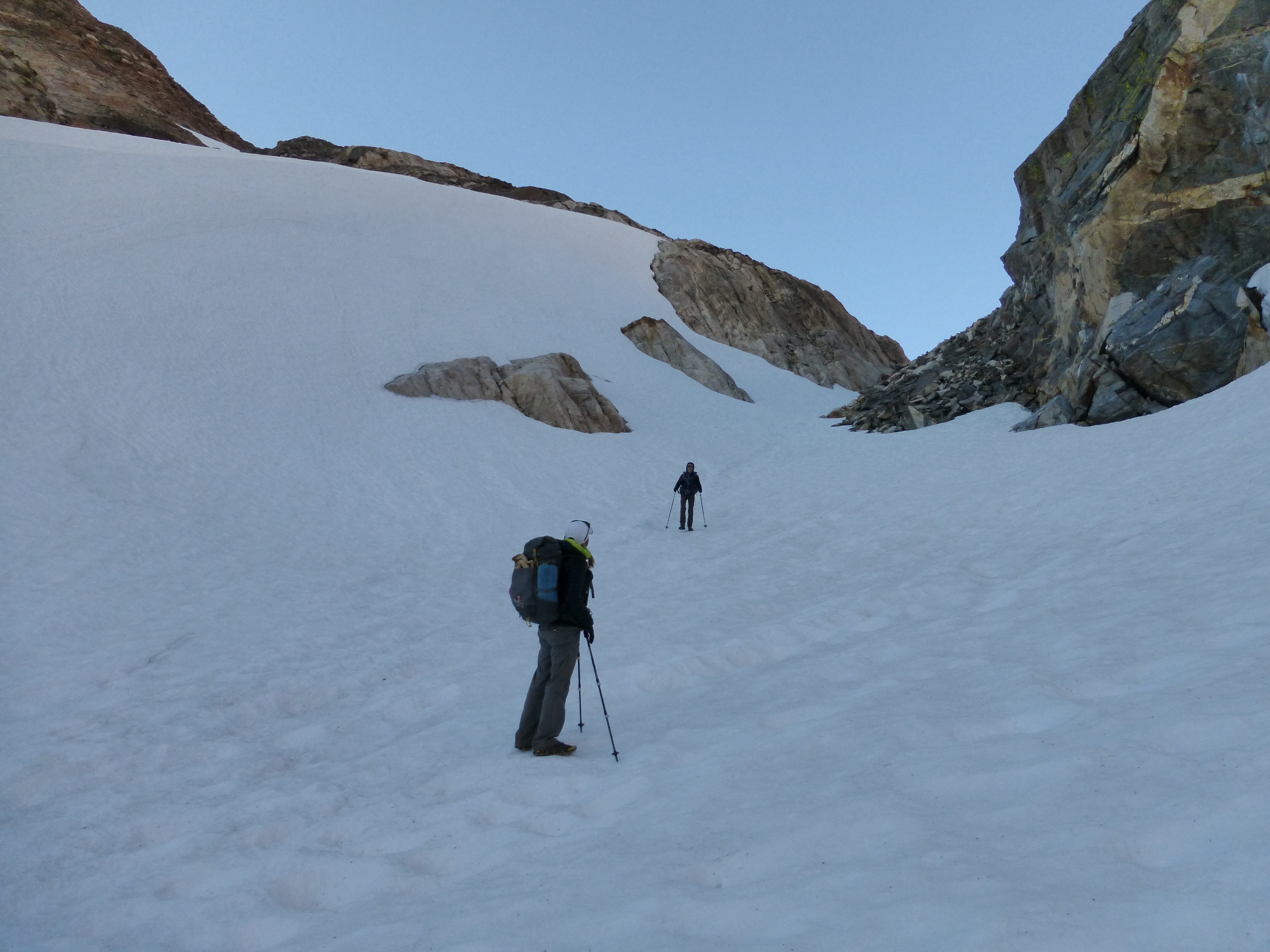
There was a tunnel of snow for the first bit where it seems sunlight would hardly hit during the day.
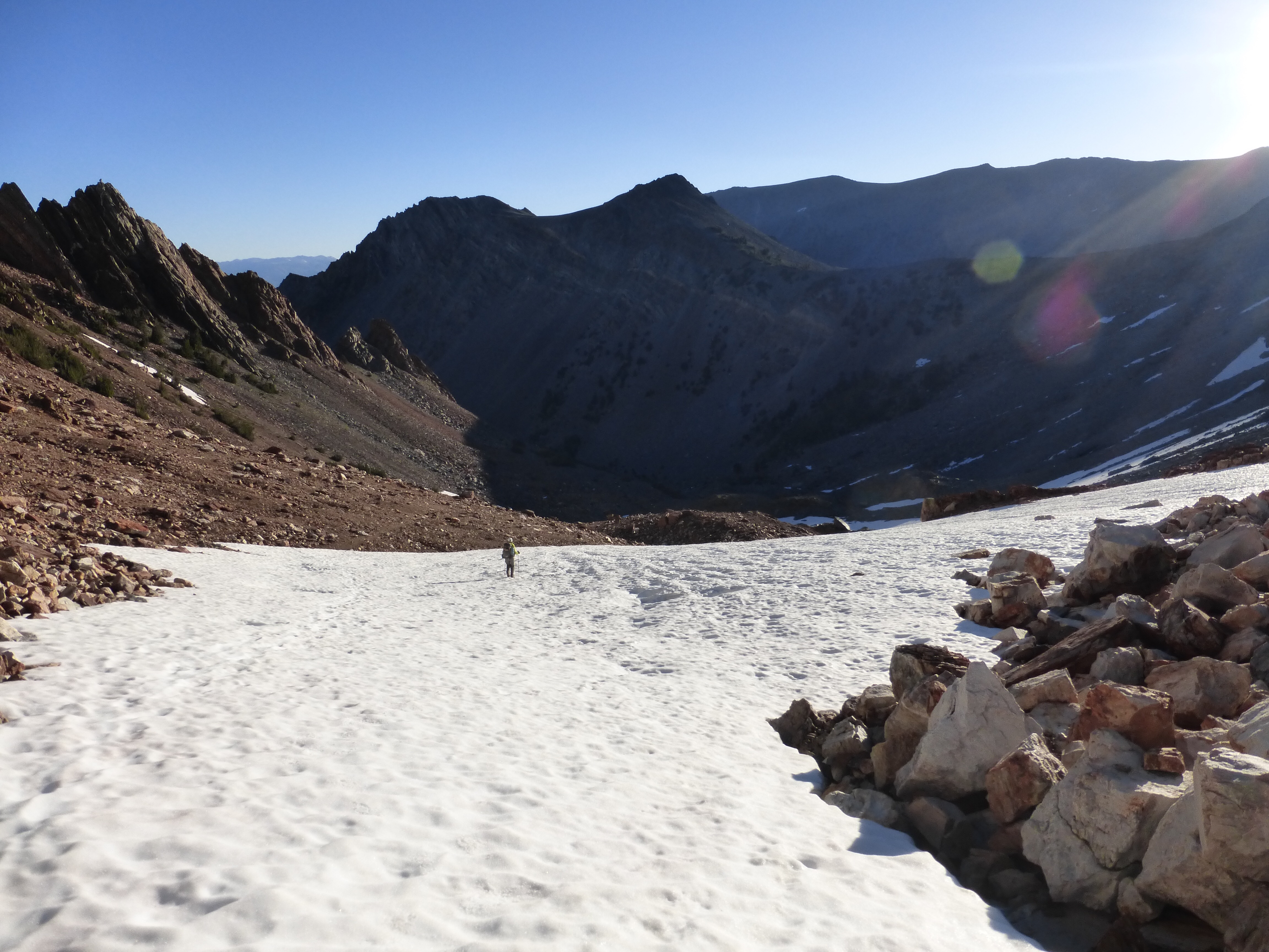
The snow faded quickly and we were left with fairly easy walking on talus.
Can you spot Rockin’? Center right…
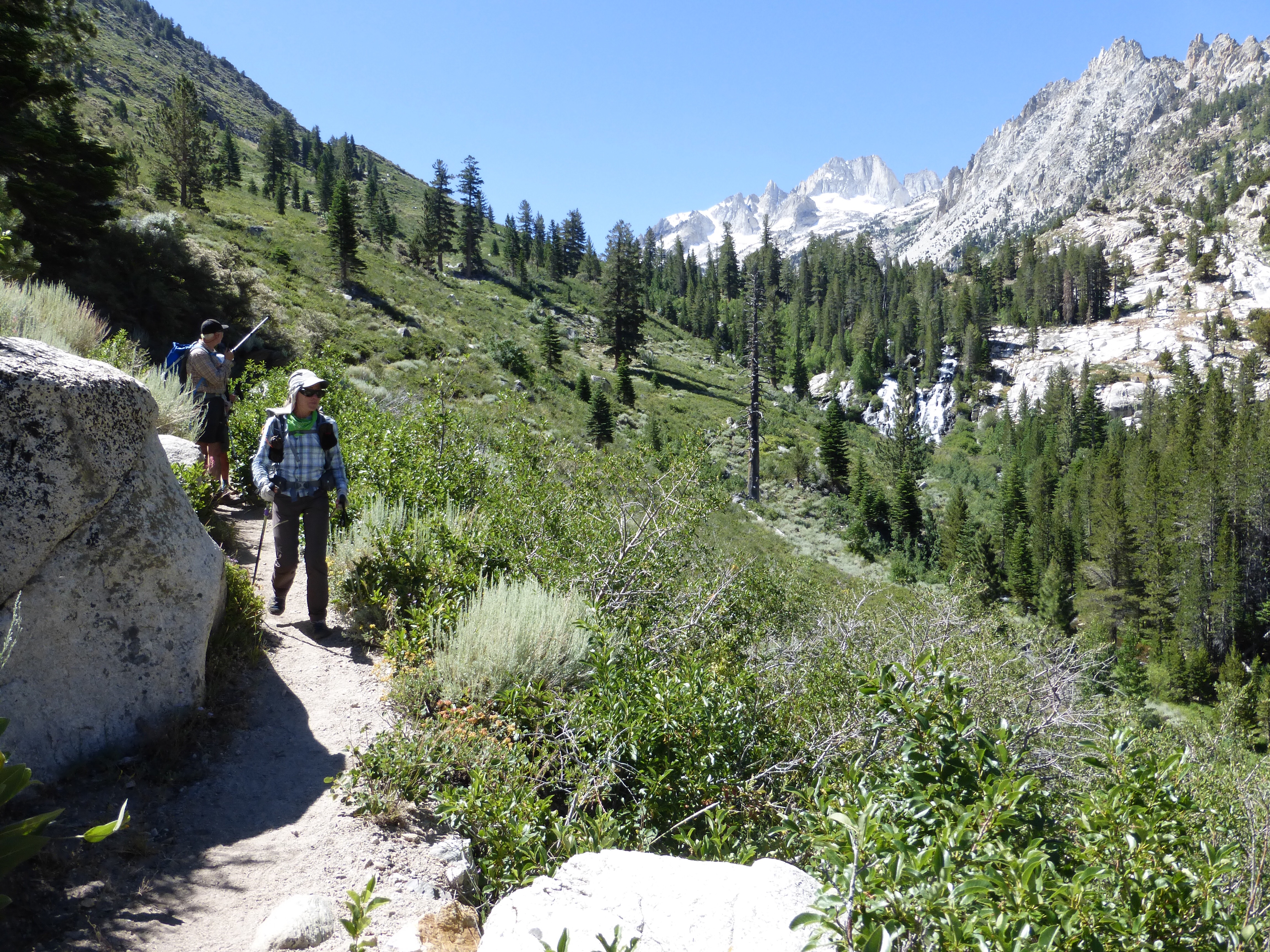
We were expecting some arduous cross country or slow talus hiking, but it turns out that there was a light use trail all the way down that we were able to follow if we kept an eye on it. It was pretty great to end the hike like this and just relax.

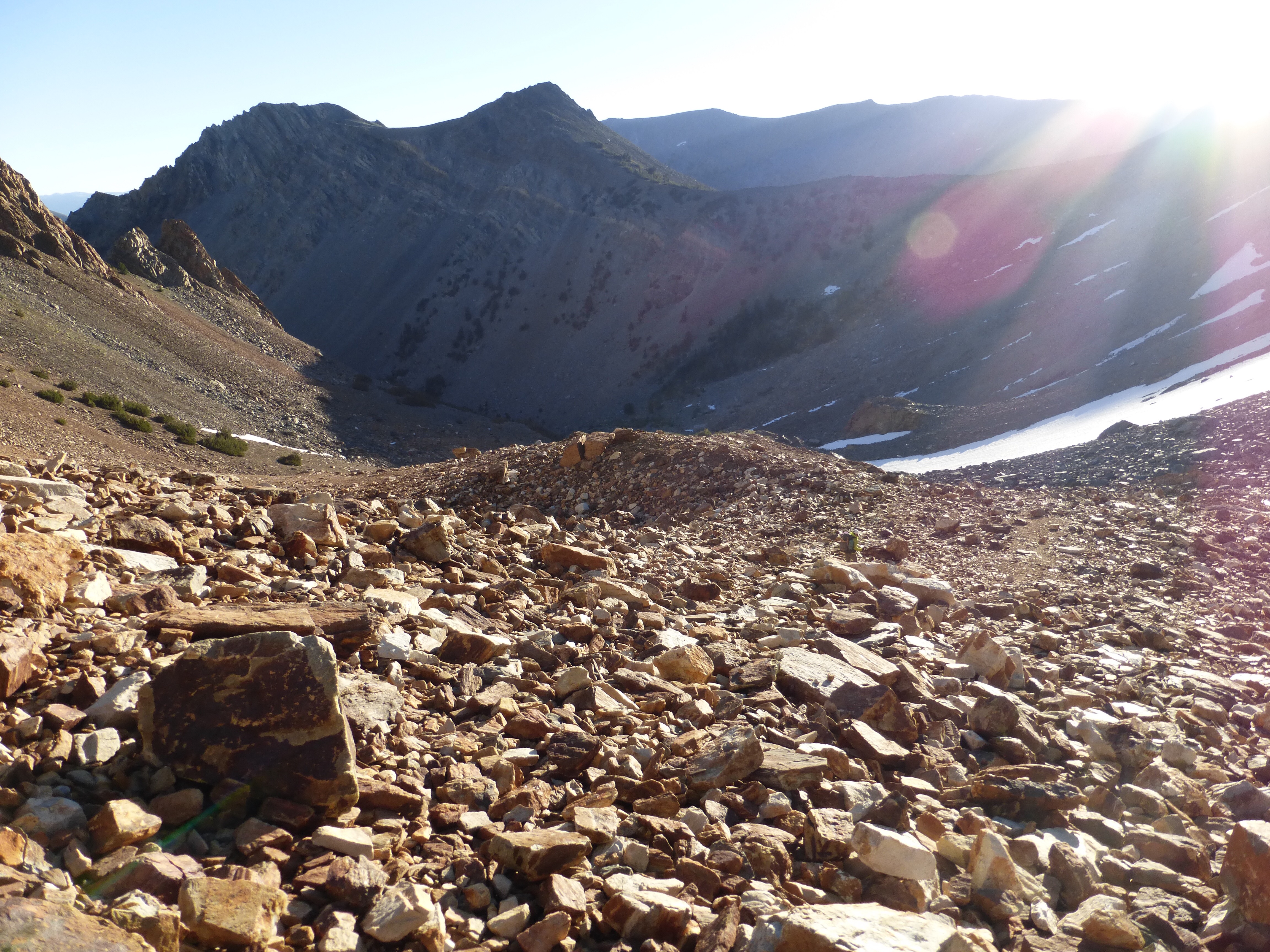
Following Horse Creek all the way down.

Halfway down, we worked through some brush and willows to emerge into a nice relaxing forest with a beautifully wide and clear trail.
It was around 9:30am when I saw a man hiking towards me. I said good morning and commented that he was the first person up I’d seen today…and before I could finish my sentence I heard yelps from Why Not behind me. It was her friend Pete who drove 3hrs, (leaving his home at 4am!) to surprise us with trail magic on our final day!

Pete brought us trail magic to celebrate on our final day!
Pete lugged the best trail magic food up to us! Rockin’ and Why Not loved the beers (I don’t drink) and Pete also practically brought a whole kitchen to make us the most awesome ultimate grilled cheeses!
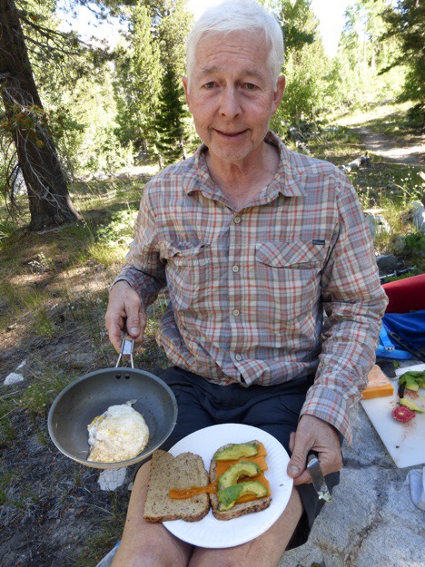
Chef Pete made us deluxe egg and grilled cheese sandwiches.
Pete had everything packed perfectly and you could tell he’s done this before. This has to be some of the best trail magic I’ve ever gotten. Pete whipped out a cutting board, knife, paper plates, a full sized frying pan, a gas stove, block cheese, eggs, avocado, butter, and salt & pepper in real glass shakers! He grilled up the sandwiches so the cheese was just right and then added everything including a fried egg in the sandwich. It was so perfect! THANK YOU to Pete for making our final day extra celebratory. We continued our hike down the last few miles on fully satisfied stomachs.
Backcountry skier Pete pointing to Matterhorn, which both he and Why Not have summited and skied down, whoa!
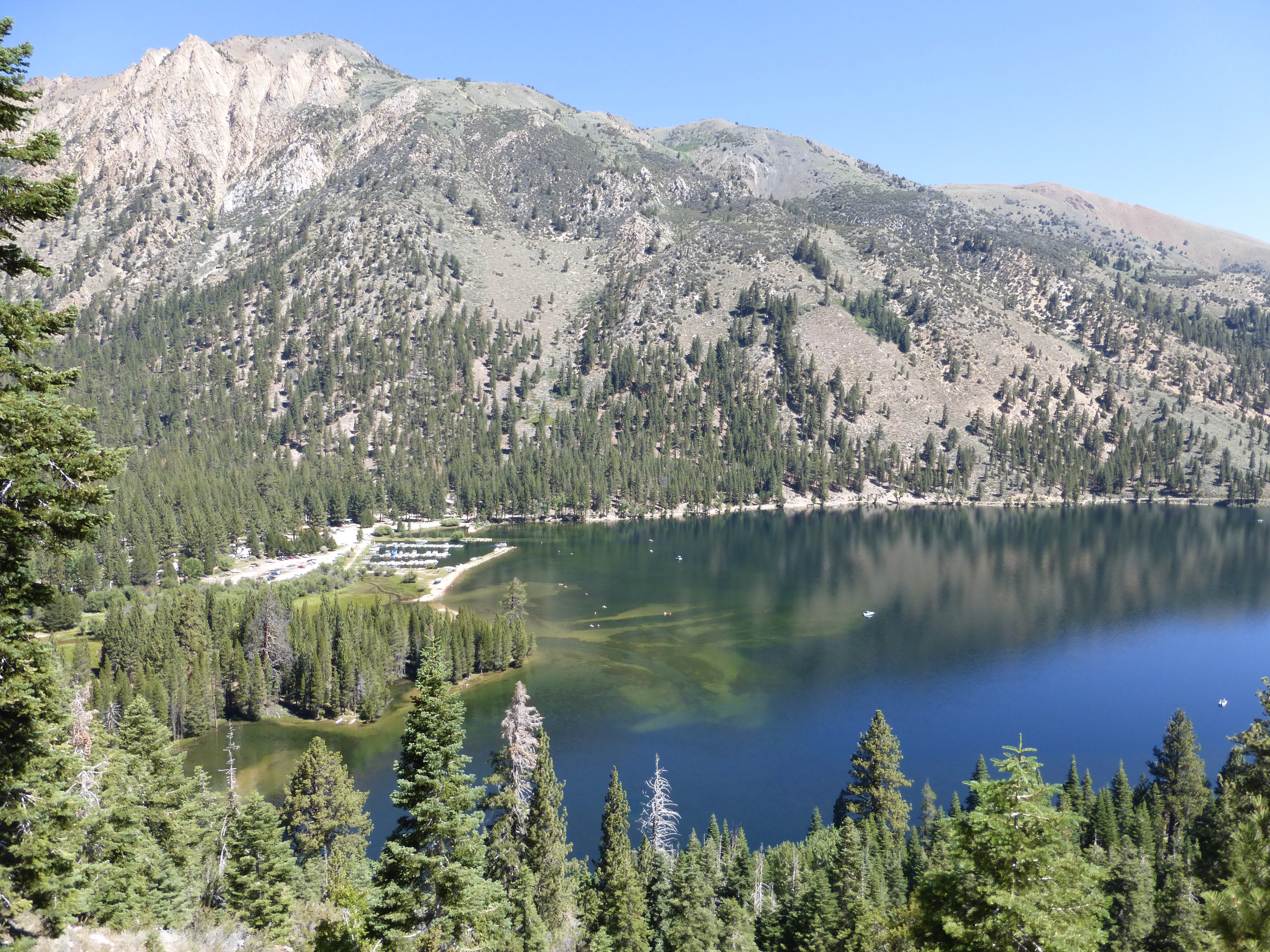
Our final switchbacks down, we could see Twin Lakes/Mono Village, the northern terminus of the SHR! It’s a major RV camping and recreation area with a store, cafe, and plenty of traffic.
Hiking down to Twin Lakes/Mono Village.
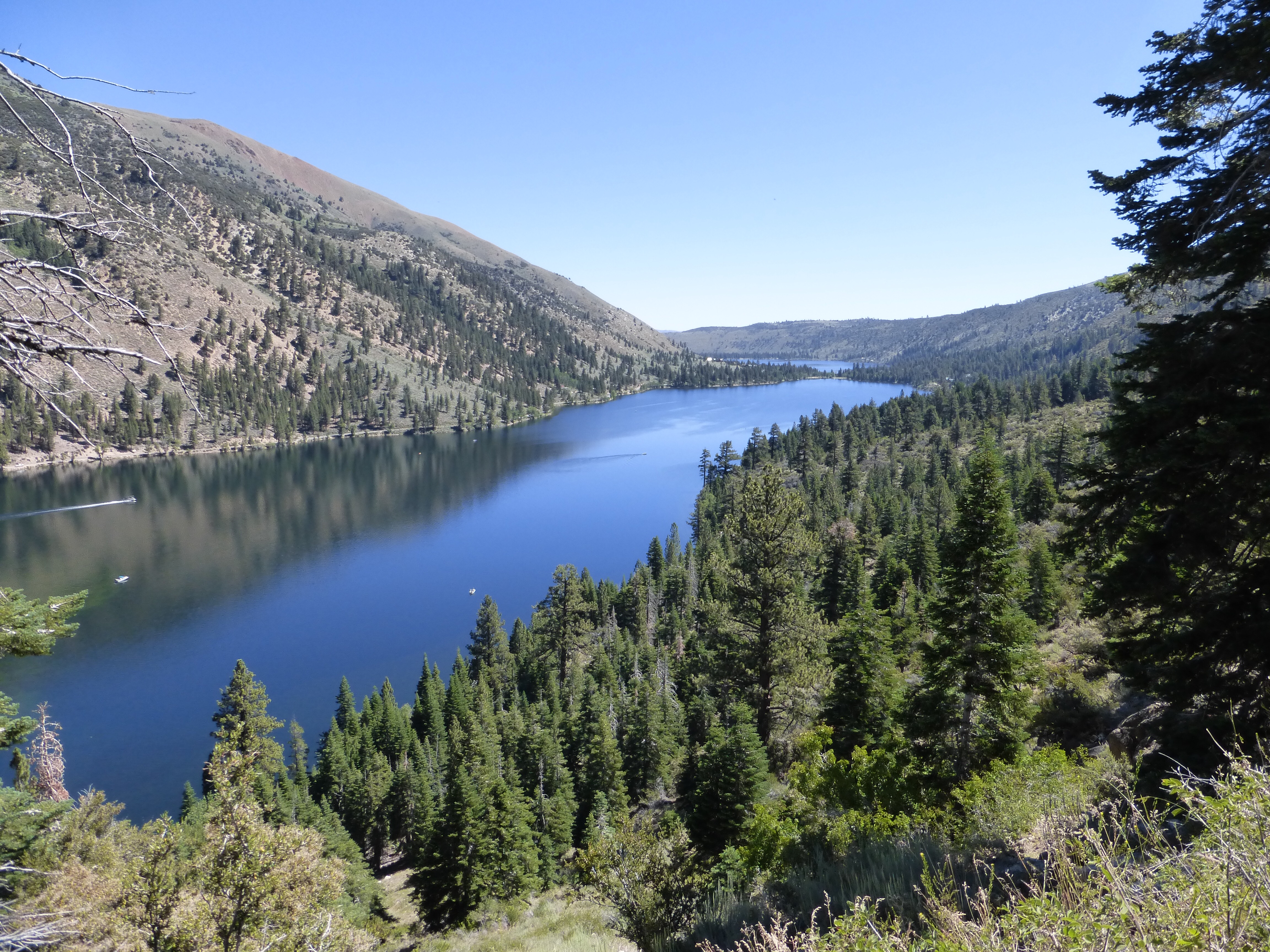
View of Twin Lakes.

Riding in style with a HYOH license plate! (Hike Your Own Hike).
When we got to the bottom, our ride was waiting for us…LoveNote who I hiked with on the PCT and who Rockin’ and I hiked with on the CDT! Those of you who follow, know that in 2013, LoveNote met Strider the first day of the CDT, he became known as Burly as the hike continued and not long after the hike, LoveNote and Burly were engaged! They were married last summer and now have baby Juniper who is 3 months old. Juniper has been on at least one hike a week so far and is surely going to be quite the hiker.
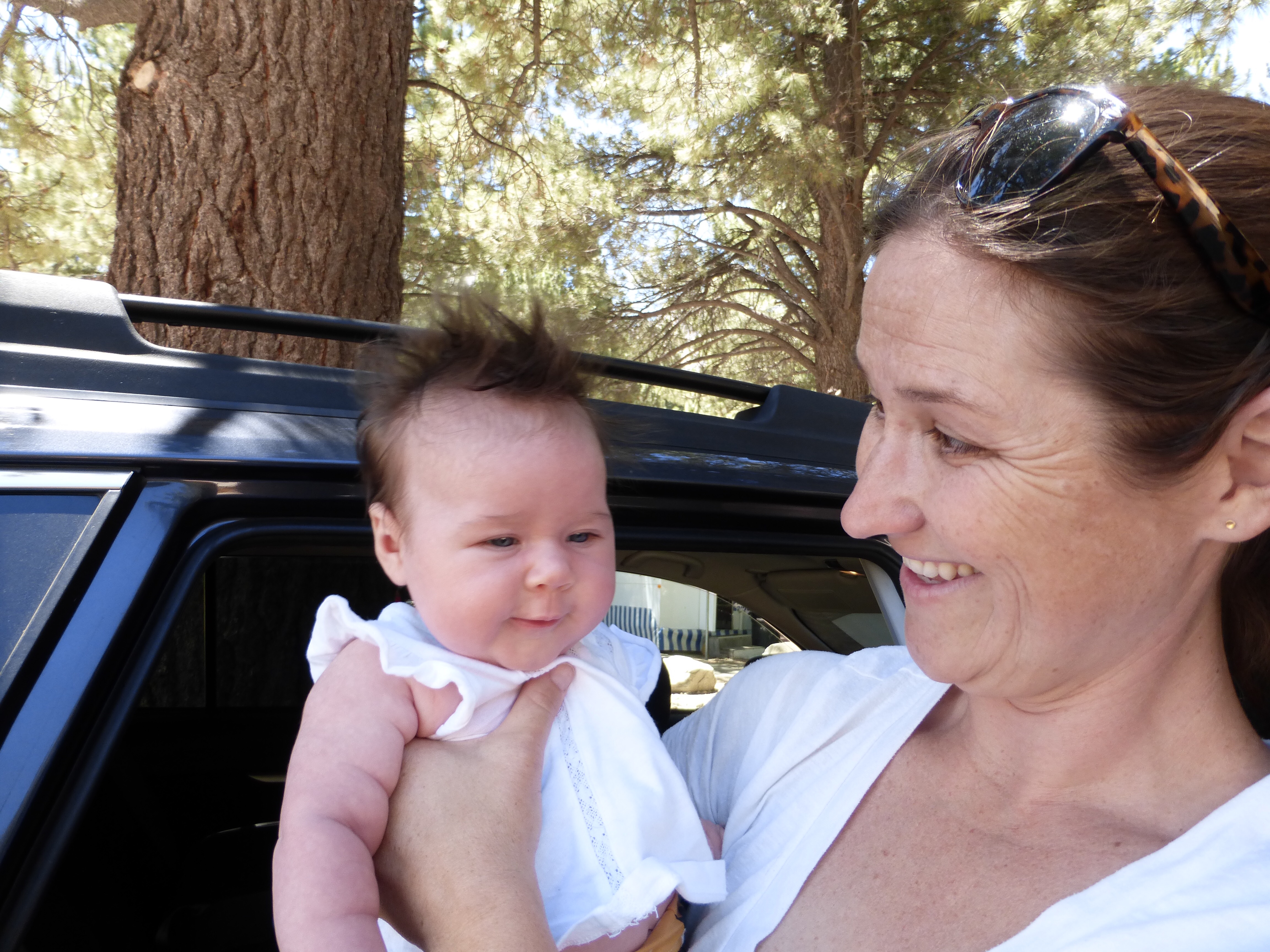
Baby Juniper! I love the hair!
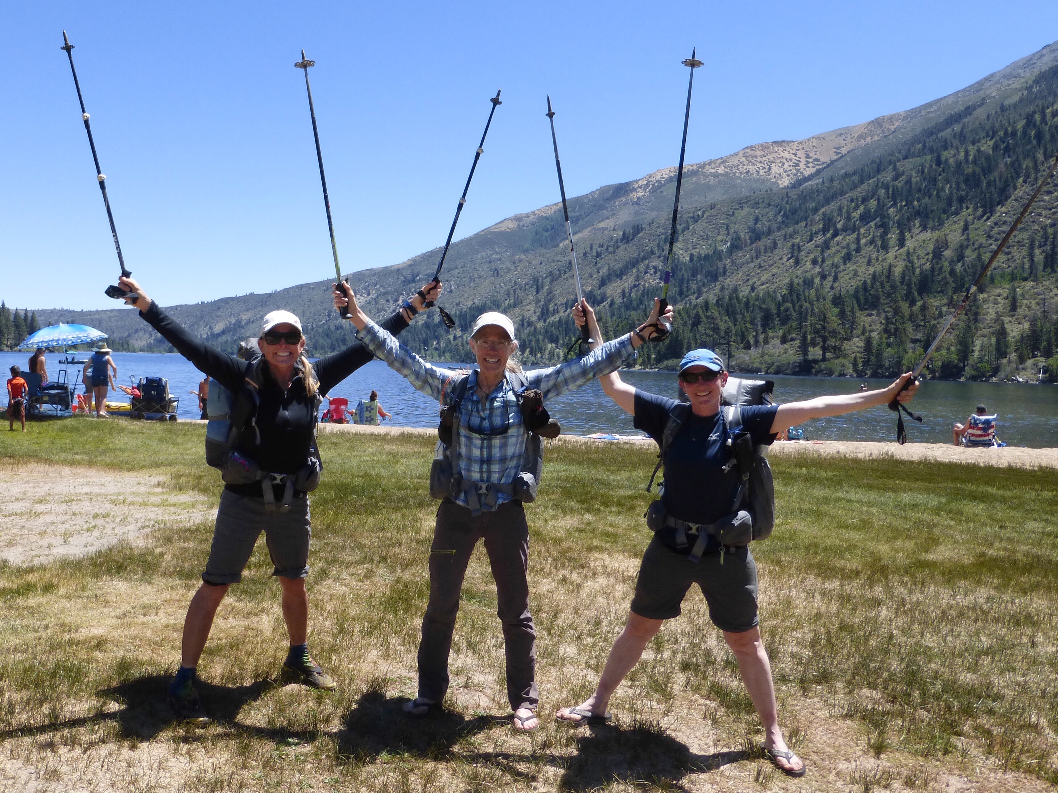
Finish photo at Twin Lakes. WE DID IT!!!
We had quite the drive back to Lone Pine (3hrs not counting stops) and got there just before the 5pm closing time of the Ranger Station, whew! We were fortunate to get permits to hike the High Sierra Trail the day after tomorrow (after a day of rest). The High Sierra Trail is about 70mi long and is a trail is very unique because it runs east/west across the Sierra.
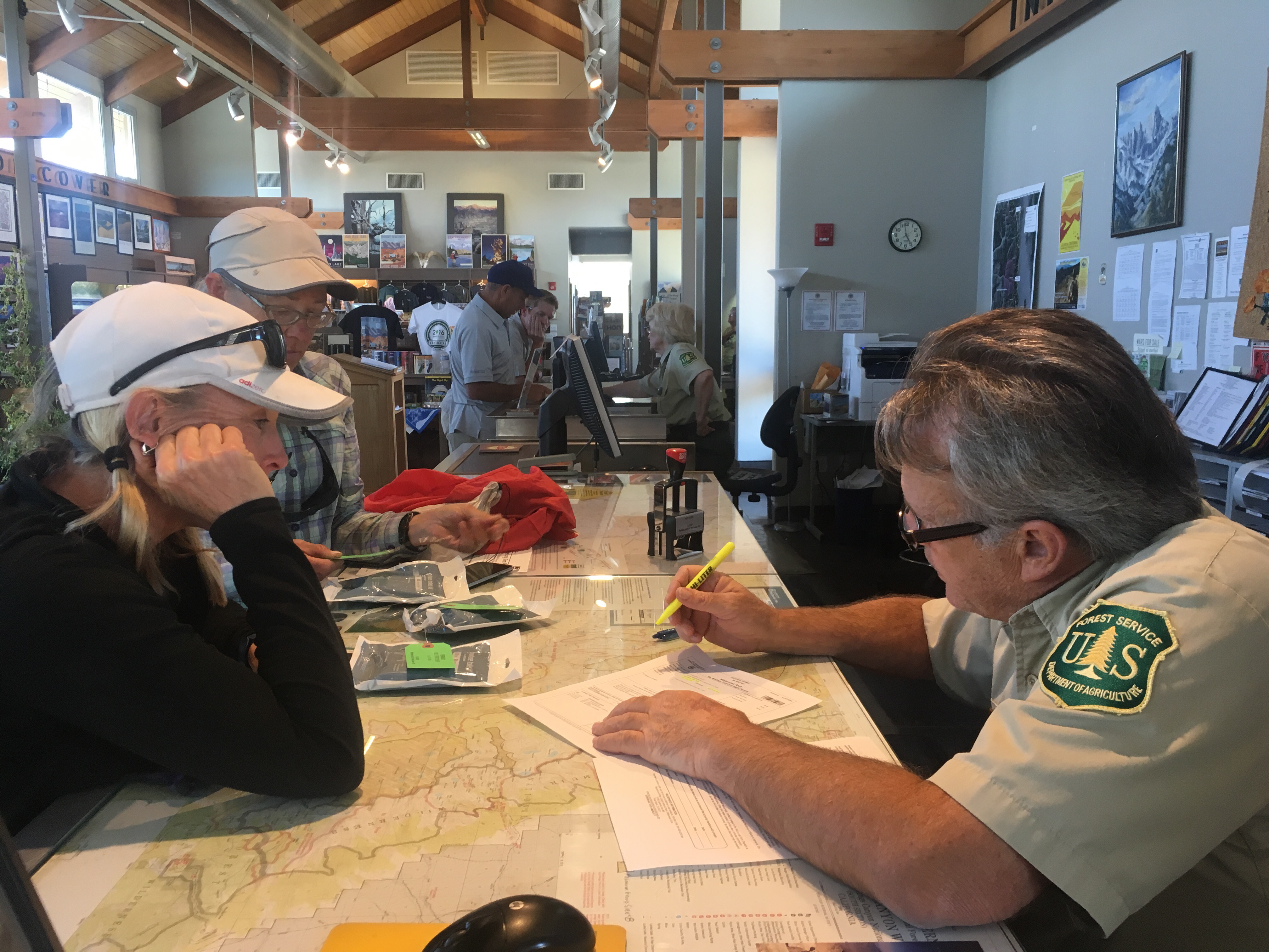
Getting permits for the High Sierra Trail.
We are looking forward to throwing this one in before we head to Wyoming to do the Wind River High Route. The High Sierra Trail is logistically tough given that it is on opposite sides of the Sierra and driving from one trailhead to another is like a day’s drive. My car is in the middle, so the plan is to do the hike from east to west and then get a ride back to the car. It will be time consuming, and we had multiple options for quicker ways back to the car, but all three of us really wanted to make it work with the HST since we are now in condition and have the time to hike it.
So the Sierra High Route is complete! It is kinda odd cause I don’t think I’ve absorbed it at all. I keep hearing it’s quite the feat as few do the whole route in one fell swoop like this and many take alternates and don’t do the complete route. We were pretty set on following Steve Roper’s intended route and not short cutting it. His guidebook is excellent, even just as a book to read. Such great history and description with just the right amount of direction to lead you where you need to go without hand holding you the whole way. Really, Roper sets the bar for guidebooks! We did use Andrew Skurka’s mapset that he copied off of Roper’s descriptions. The maps were great printed in 11×17 and we greatly appreciated having them, but be sure to understand that this is Roper’s route and it is amazing that he created this over 30yrs ago!
We are proud to have made it to all 33 of the passes and to have done most of the route purely off of map and compass with a GPS for when we needed it. It was more time consuming to do map and compass, but that is the spirit of the SHR and I’m glad Why Not and Rockin’ were so diligent on sticking to that (I am pretty weak with patience on that). I think this one will take a bit to absorb and fully realized what we did, but I know that Why Not and Rockin’ can appreciate it so much more than me given that they have had a lifetime of experiences in the Sierra. I tend to look at it and it all bleeds together for me, but they have had personal experiences and decades of memories out there to form a deeper connection. This route was very uncomfortable for me at first and I knew would push my comfort zone, and that’s why I did it. I did grow to become more comfortable on the terrain and it was great to strengthen my map and compass skills a bit more.
Having Rockin’ there for me and Why Not was key in this whole process. She led us safely through all this and I know that couldn’t have been easy to feel that kind of pressure. Especially in the the beginning when we were both so new to all of this. Rockin’ was better than having a personal guide with her 20yrs of experience out here and having done the SHR in sections many years ago. The hike definitely wouldn’t have been the success that it was without Rockin’ there to lead the charge! THANK YOU to both Rockin’ and Why Not for sharing this together! Onward to more of the high stuff!


1 hike down and how many more to go. Congrats on the hike and glad you made it safely through…..have fun as the adventure continues
Erin I am so impressed with what you accomplished. I never had to climb boulders that big with a 30 pound pack! But next time you should consider wearing a climbing helmet. If you fell and hit your head, or rocks falling from a hiker above you hit you the helmet could save you. Just a thought……
It is a good thought. That pack definitely takes over if you lose your balance. This hike definitely tows the line of hiking and climbing…
Congrats on a huge accomplishment! On to the next one.
Well done Erin! That is a real achievement.. so glad you stuck with it and got to enjoy it.. and all without losing anything but a water bottle!
I overbalanced on talus and broke my nose .. (see link!) .. could have been a whole lot worse, actually. Still I don’t think I could hike far in a hard hat
Oh no Jerry! That is funny that you are totally smiling about it though and I like that you still have the compass around your neck. Yeah, we’ve each taken small stumbles, but each time there is a very close call of the head hitting something once that momentum and pack weight takes over!
Congratulations on your accomplishment. Thanks for the awesome description and photos.
Thank you and you’re welcome!
Good job, Erin! Thanks for letting us all tag along on your journeys.
Congrats to you and your band of sisters! Have a safe trip. Westward Ho!
That’s right! On to the next one. Great to hear from you Rambler!
Congrats to all three of you for completing Ropers Route in true Roper tradition. Congrats to meeting up with Wondering Daisey. And Congrats to Lovenote & Burly.
Great job Erin. Congrats! All three of you are such inspirations. Thank you so much for taking us along on the adventure and for your honesty and realness in telling your story …..and for the gorgeous photos! Let the adventures continue! Blisses and blessings to you all!
No kidding, AMAZING feat all of you. Your blogs have redefined journaling for me. What a gift. And again, what an accomplishment!!!!!!!!!
Great ending. Thanks for taking us along and taking the time to entertain us all. Onward and upward to the Wind River. Be safe. You sure make it look easy….
Well done!
Thank you so much for sharing your walk with us. I got a lot of positive comments only blog and all I could say was, I learned form the best. That would be you.
I used to love going to the Sierra as a boy and playing on all the rocks. Then when I got my drivers license me and my friend would head up there as soon as school was out. Usually there was still lots of snow and I got really good at reading a topo map since there was no trail. The PCT was too crowded for me last year and I hear it’s just getting worse. Maybe the SHR is the one for me.
Thanks for the inspiration!
It definitely takes some getting used to with the off trail stuff and covering far less distance, but there is quite the payoff for the efforts (if you survive, ha!).
Nice!
Congrats! What an incredible hike!
Hey Wired,
I’m hoping to set off on this route within the next week, but I didn’t bring microspikes or anything of that ilk with me. Think the route is passable without?
( You probably don’t remember me as I met you just once on the long trail in 2014, with geared up the night before Killington, but I definitely was impressed with your drive! So hi!)
Thanks and congratulations!
Oh cool! My only suggestion would be micros you might use a few times all trip (or none), but I feel like there was a lot of snow that may be there all year in some spots per the guidebook. I’m sure you could also make due and maybe have to go around some things.
Erin, one solid butt kicker of a hike. You and your two companions are straight up climber/hikers! Congrats on the finish and the new and improved skills. Very impressed I am.
Erin,
That is a most inspirational report! Congratulations to all of you. I’ve never hiked in the high Sierra, but your photos and descriptions make me want to. I don’t cope well with high elevation, but my eldest daughter (lives in SF) told me about Diamox that she uses and has been hiking the high country the last few years. I don’t think I could do the whole route, but a section might be something I could handle. Simply unbelievable and beautiful country.
Steve
It for sure takes some getting used to. I felt very uncomfortable out there until I adjusted to both the terrain and elevation after a week or so.